 EMODnet Product Catalogue
Resolution
0.000976563 Arc minute
Type of resources
Available actions
Topics
Keywords
Contact for the resource
Provided by
Years
Formats
Representation types
Scale 1:
Resolution
From
1
-
1
/
1
-
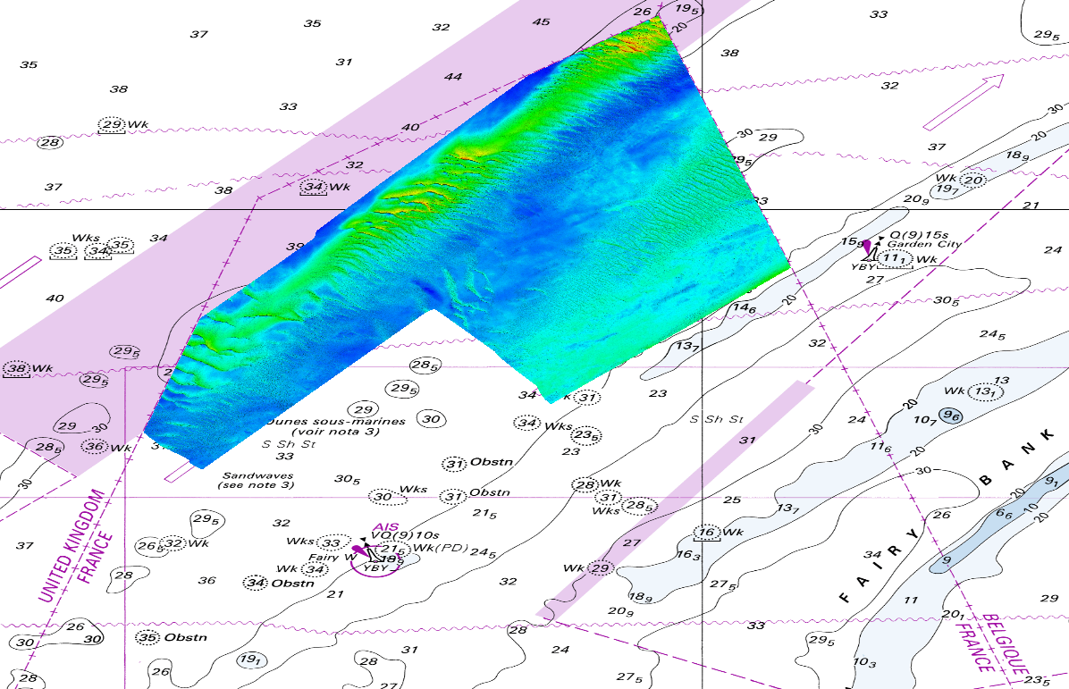
The DTM is produced from the S201502800-1 multibeam echosounder survey, acquired in 2015. The resolution is 1/1024 arc-minutes (~4m). It is located in front of Dunkirk (France) with depths from -16.4m to -43.3m. Depths are referenced to the Lowest Astronomical Tide and the coordinates are expressed into the WGS84 reference frame. Data and metadata associated to the survey are available on the website http://diffusion.shom.fr/pro/lots-bathy.html. The DTM is not to be used for navigation.